Westward Road direction and distances signs, Cainscross, Stroud
Introduction
The photograph on this page of Westward Road direction and distances signs, Cainscross, Stroud by Jaggery as part of the Geograph project.
The Geograph project started in 2005 with the aim of publishing, organising and preserving representative images for every square kilometre of Great Britain, Ireland and the Isle of Man.

There are currently over 7.5m images from over 14,400 individuals and you can help contribute to the project by visiting https://www.geograph.org.uk
Westward Road direction and distances signs, Cainscross, Stroud
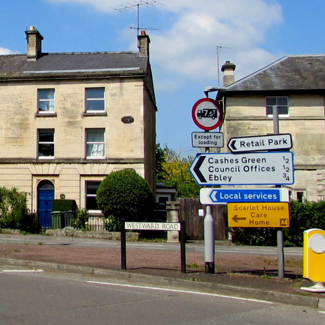
Image: © Jaggery Taken: 7 May 2017
Pointing southwestwards along the B4008 Westward Road half a mile from Cashes Green and Council Offices and three-quarters of a mile from Ebley.
Images are licensed for reuse under creativecommons.org/licenses/by-sa/2.0
Image Location
Latitude
51.743545
Longitude
-2.240234