Farmland near Coarsewell
Introduction
The photograph on this page of Farmland near Coarsewell by Derek Harper as part of the Geograph project.
The Geograph project started in 2005 with the aim of publishing, organising and preserving representative images for every square kilometre of Great Britain, Ireland and the Isle of Man.

There are currently over 7.5m images from over 14,400 individuals and you can help contribute to the project by visiting https://www.geograph.org.uk
Farmland near Coarsewell
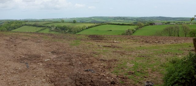
Image: © Derek Harper Taken: 18 May 2017
A glimpse, from the same spot as Image, across a rather bare field of the steep southern valley sides (from which Image was taken) of a stream that drains to the Avon. Along its crest runs the lane from which Image] was taken.
Images are licensed for reuse under creativecommons.org/licenses/by-sa/2.0
Image Location
Latitude
50.380617
Longitude
-3.821337