Acton
Introduction
The photograph on this page of Acton by Robin Webster as part of the Geograph project.
The Geograph project started in 2005 with the aim of publishing, organising and preserving representative images for every square kilometre of Great Britain, Ireland and the Isle of Man.

There are currently over 7.5m images from over 14,400 individuals and you can help contribute to the project by visiting https://www.geograph.org.uk
Acton
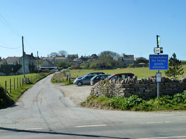
Image: © Robin Webster Taken: 23 Apr 2013
Off the main road, probably where a great many of the quarrymen lived in former times. There is a useful car park on the right, probably a bit small in the peak season here.
Images are licensed for reuse under creativecommons.org/licenses/by-sa/2.0
Image Location
Latitude
50.605947
Longitude
-2.016905