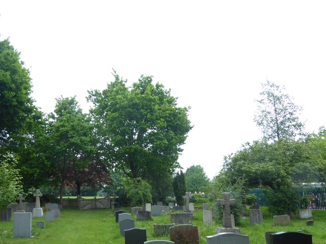
Extension to St Mary the Virgin Churchyard, Shenfield
Introduction
The photograph on this page of Extension to St Mary the Virgin Churchyard, Shenfield by Marathon as part of the Geograph project.
The Geograph project started in 2005 with the aim of publishing, organising and preserving representative images for every square kilometre of Great Britain, Ireland and the Isle of Man.
There are currently over 7.5m images from over 14,400 individuals and you can help contribute to the project by visiting https://www.geograph.org.uk

Image: © Marathon Taken: 17 May 2017
Shenfield has grown substantially since the original Shenfield station which opened in 1843 closed in March 1850 as passenger numbers were so low because there was little housing in the area. It was reopened on 1st January 1887 - see http://www.geograph.org.uk/photo/5395291 for more information about the station. The church of St Mary the Virgin is right on the edge of the countryside to the north-west of Shenfield. The north arcade is unusually of timber. The bell turret and its support is also of timber. There is an extension to the churchyard immediately across Hall Lane to the east and this further extension next to the path on the way to Chelmsford Road.

