
Disturbed Ground now Naturalised
Introduction
The photograph on this page of Disturbed Ground now Naturalised by Matthew Hatton as part of the Geograph project.
The Geograph project started in 2005 with the aim of publishing, organising and preserving representative images for every square kilometre of Great Britain, Ireland and the Isle of Man.

There are currently over 7.5m images from over 14,400 individuals and you can help contribute to the project by visiting https://www.geograph.org.uk
Disturbed Ground now Naturalised
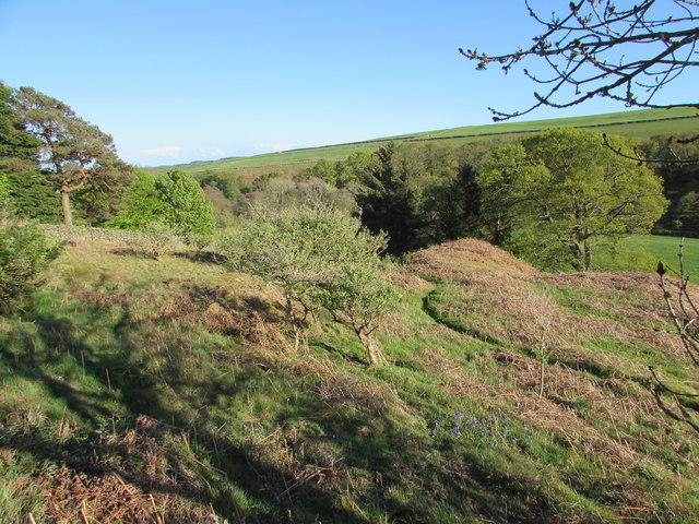
Image: © Matthew Hatton Taken: 14 May 2017
I don't know what they were looking for or working here, but this site shows several spoil heaps, two of which are finger ones, which would imply a tub of some description was used. Perhaps it was a dressing floor, but that would mean either lead (unlikely) or a stone quarry. All this activity hasn't stopped the Bluebells from growing.
Images are licensed for reuse under creativecommons.org/licenses/by-sa/2.0
Image Location

Latitude
54.227663
Longitude
-1.779544