Llangeinor Arms
Introduction
The photograph on this page of Llangeinor Arms by Alan Hughes as part of the Geograph project.
The Geograph project started in 2005 with the aim of publishing, organising and preserving representative images for every square kilometre of Great Britain, Ireland and the Isle of Man.

There are currently over 7.5m images from over 14,400 individuals and you can help contribute to the project by visiting https://www.geograph.org.uk
Llangeinor Arms
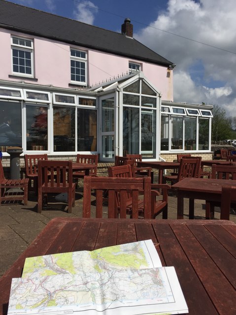
Image: © Alan Hughes Taken: 18 May 2017
Llangeinor Arms from the terrace. OS map ready at hand for my walk over Mynydd Llangeinwyr.
Images are licensed for reuse under creativecommons.org/licenses/by-sa/2.0
Image Location
Latitude
51.579583
Longitude
-3.553092