Conversion of Mount Calm, 24-26, Earl's Avenue
Introduction
The photograph on this page of Conversion of Mount Calm, 24-26, Earl's Avenue by John Baker as part of the Geograph project.
The Geograph project started in 2005 with the aim of publishing, organising and preserving representative images for every square kilometre of Great Britain, Ireland and the Isle of Man.

There are currently over 7.5m images from over 14,400 individuals and you can help contribute to the project by visiting https://www.geograph.org.uk
Conversion of Mount Calm, 24-26, Earl's Avenue
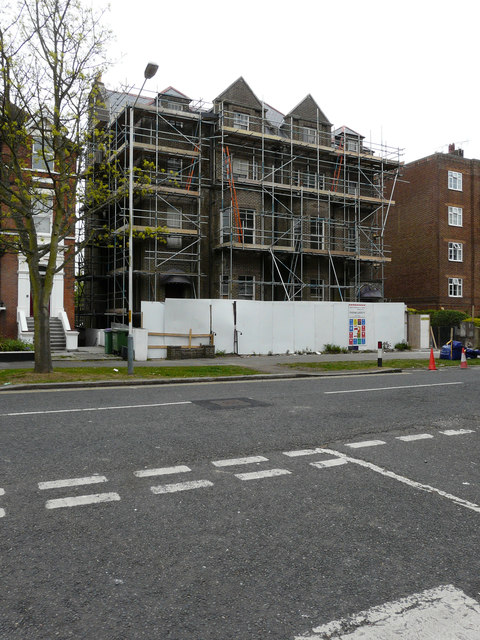
Image: © John Baker Taken: 30 Apr 2017
Planning permission was approved, with conditions, by Folkestone and Hythe District Council under application number Y16/0813/SH for the “change of use from residential care home (Use class C2) to 11 self contained residential flats (Use Class C3)”.
Images are licensed for reuse under creativecommons.org/licenses/by-sa/2.0
Image Location
Latitude
51.077176
Longitude
1.165751