View from the Kilewnan Burn
Introduction
The photograph on this page of View from the Kilewnan Burn by Anne Burgess as part of the Geograph project.
The Geograph project started in 2005 with the aim of publishing, organising and preserving representative images for every square kilometre of Great Britain, Ireland and the Isle of Man.

There are currently over 7.5m images from over 14,400 individuals and you can help contribute to the project by visiting https://www.geograph.org.uk
View from the Kilewnan Burn
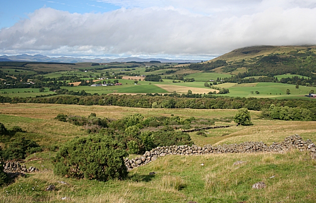
Image: © Anne Burgess Taken: 25 Aug 2007
The drystane dyke is marked on the 1:25,000 map, and the foreground is in this square. However it is the distant view to the north which catches the eye. On the right are the Fintry Hills.
Images are licensed for reuse under creativecommons.org/licenses/by-sa/2.0
Image Location
Latitude
56.055211
Longitude
-4.245349