Riverside Place, Barry
Introduction
The photograph on this page of Riverside Place, Barry by Jaggery as part of the Geograph project.
The Geograph project started in 2005 with the aim of publishing, organising and preserving representative images for every square kilometre of Great Britain, Ireland and the Isle of Man.

There are currently over 7.5m images from over 14,400 individuals and you can help contribute to the project by visiting https://www.geograph.org.uk
Riverside Place, Barry
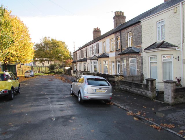
Image: © Jaggery Taken: 4 Nov 2016
Cul-de-sac connecting with Cardiff Road behind the camera. There is no nearby river here today. A 1930s map shows a river or stream in this area.
Images are licensed for reuse under creativecommons.org/licenses/by-sa/2.0
Image Location
Latitude
51.41126
Longitude
-3.243116