11 - 14, Hodgebower, Ironbridge
Introduction
The photograph on this page of 11 - 14, Hodgebower, Ironbridge by Richard Law as part of the Geograph project.
The Geograph project started in 2005 with the aim of publishing, organising and preserving representative images for every square kilometre of Great Britain, Ireland and the Isle of Man.

There are currently over 7.5m images from over 14,400 individuals and you can help contribute to the project by visiting https://www.geograph.org.uk
11 - 14, Hodgebower, Ironbridge
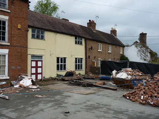
Image: © Richard Law Taken: 17 Apr 2017
A row of 19th century cottages to the right of the Crown Inn, themselves given a Grade II listing http://www.britishlistedbuildings.co.uk/101038647-11-14-hodgebower-the-gorge#.WRvqM_krKM8 in 1974 for their group value with each other and the pub.
Images are licensed for reuse under creativecommons.org/licenses/by-sa/2.0
Image Location
Latitude
52.629612
Longitude
-2.48485