Trinity United Reformed Church (Disused)
Introduction
The photograph on this page of Trinity United Reformed Church (Disused) by Paul Collins as part of the Geograph project.
The Geograph project started in 2005 with the aim of publishing, organising and preserving representative images for every square kilometre of Great Britain, Ireland and the Isle of Man.

There are currently over 7.5m images from over 14,400 individuals and you can help contribute to the project by visiting https://www.geograph.org.uk
Trinity United Reformed Church (Disused)
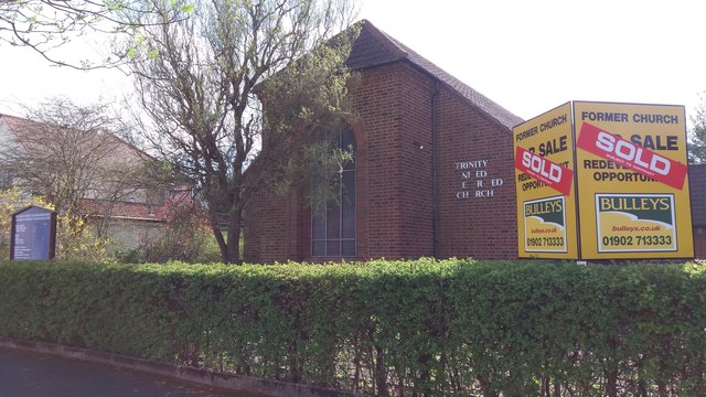
Image: © Paul Collins Taken: 2 Apr 2017
This church has been closed and sold. I imagine it is destined for demolition and redevelopment.
Images are licensed for reuse under creativecommons.org/licenses/by-sa/2.0
Image Location
Latitude
52.422842
Longitude
-1.848347