Cheshire Lines cycle path
Introduction
The photograph on this page of Cheshire Lines cycle path by Peter Mackenzie as part of the Geograph project.
The Geograph project started in 2005 with the aim of publishing, organising and preserving representative images for every square kilometre of Great Britain, Ireland and the Isle of Man.

There are currently over 7.5m images from over 14,400 individuals and you can help contribute to the project by visiting https://www.geograph.org.uk
Cheshire Lines cycle path
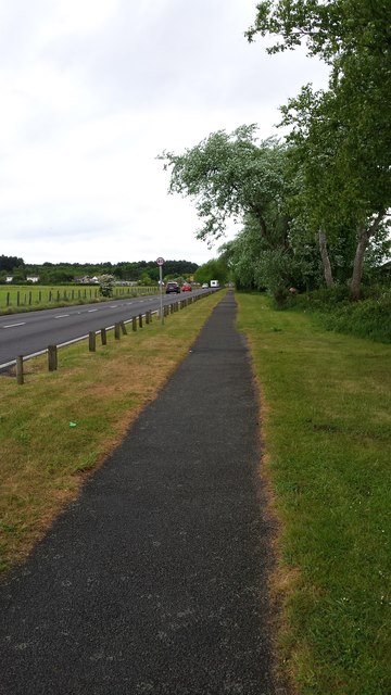
Image: © Peter Mackenzie Taken: 16 May 2017
The cycle path follows the coastal road towards Southport near Ainsdale.
Images are licensed for reuse under creativecommons.org/licenses/by-sa/2.0
Image Location
Latitude
53.590548
Longitude
-3.046161