Crossroads on road to Holl Reservoir, Lomond Hills
Introduction
The photograph on this page of Crossroads on road to Holl Reservoir, Lomond Hills by Bill Kasman as part of the Geograph project.
The Geograph project started in 2005 with the aim of publishing, organising and preserving representative images for every square kilometre of Great Britain, Ireland and the Isle of Man.

There are currently over 7.5m images from over 14,400 individuals and you can help contribute to the project by visiting https://www.geograph.org.uk
Crossroads on road to Holl Reservoir, Lomond Hills
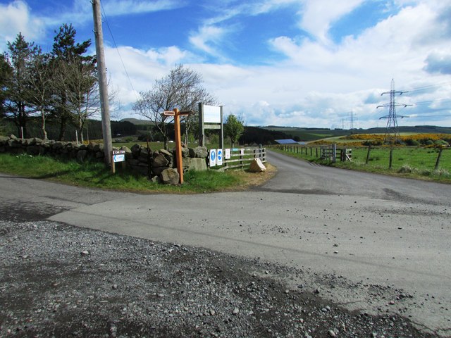
Image: © Bill Kasman Taken: 14 May 2017
The road to Holl Reservoir reaches this crossroads Image] Like many junctions in the park it is well signposted Image] See Lomond Hills Regional Park article http://www.geograph.org.uk/article/Lomond-Hills-Regional-Park
Images are licensed for reuse under creativecommons.org/licenses/by-sa/2.0
Image Location
Latitude
56.215229
Longitude
-3.250204