Field below Foel Drygarn
Introduction
The photograph on this page of Field below Foel Drygarn by Natasha Ceridwen de Chroustchoff as part of the Geograph project.
The Geograph project started in 2005 with the aim of publishing, organising and preserving representative images for every square kilometre of Great Britain, Ireland and the Isle of Man.

There are currently over 7.5m images from over 14,400 individuals and you can help contribute to the project by visiting https://www.geograph.org.uk
Field below Foel Drygarn
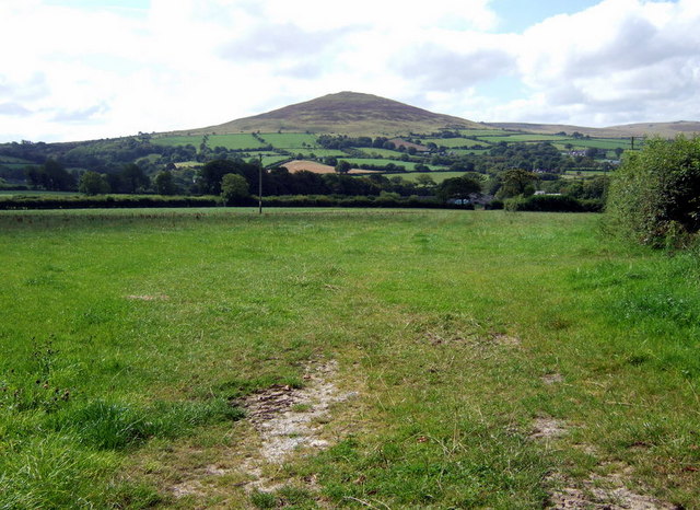
Image: © Natasha Ceridwen de Chroustchoff Taken: 28 Aug 2007
From the minor road junction at Anneddwen; Foel Drygarn (Three Cairn Hill) as usual draws the eye.
Images are licensed for reuse under creativecommons.org/licenses/by-sa/2.0
Image Location
Latitude
51.984485
Longitude
-4.670686