Redhill
Introduction
The photograph on this page of Redhill by Ian Capper as part of the Geograph project.
The Geograph project started in 2005 with the aim of publishing, organising and preserving representative images for every square kilometre of Great Britain, Ireland and the Isle of Man.

There are currently over 7.5m images from over 14,400 individuals and you can help contribute to the project by visiting https://www.geograph.org.uk
Redhill
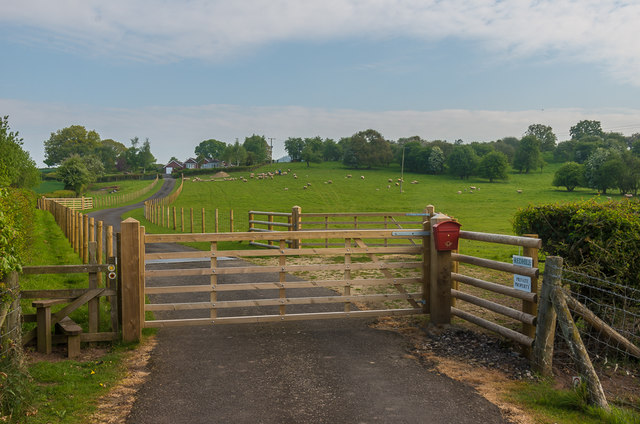
Image: © Ian Capper Taken: 7 May 2017
Driveway to Redhill, off Fishmore Road. A house of this name is shown here on late 19th Century maps, although the current building is clearly more recent in appearance.
Images are licensed for reuse under creativecommons.org/licenses/by-sa/2.0
Image Location
Latitude
52.383373
Longitude
-2.719968