Motorway gantry on the M8 near Arkleston
Introduction
The photograph on this page of Motorway gantry on the M8 near Arkleston by Thomas Nugent as part of the Geograph project.
The Geograph project started in 2005 with the aim of publishing, organising and preserving representative images for every square kilometre of Great Britain, Ireland and the Isle of Man.

There are currently over 7.5m images from over 14,400 individuals and you can help contribute to the project by visiting https://www.geograph.org.uk
Motorway gantry on the M8 near Arkleston
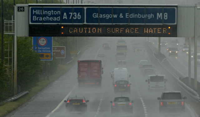
Image: © Thomas Nugent Taken: 15 May 2017
Looking east from the Arkleston Road bridge towards Junction 26. The matrix sign warns of surface water. This stretch of the motorway was built along the line of the main runway of the former Glasgow (Renfrew) Airport, which closed in 1966 when the nearby Glasgow (Abbottsinch) airport opened.
Images are licensed for reuse under creativecommons.org/licenses/by-sa/2.0
Image Location
Latitude
55.862019
Longitude
-4.395918