Bridge #126
Introduction
The photograph on this page of Bridge #126 by Gerald England as part of the Geograph project.
The Geograph project started in 2005 with the aim of publishing, organising and preserving representative images for every square kilometre of Great Britain, Ireland and the Isle of Man.

There are currently over 7.5m images from over 14,400 individuals and you can help contribute to the project by visiting https://www.geograph.org.uk
Bridge #126
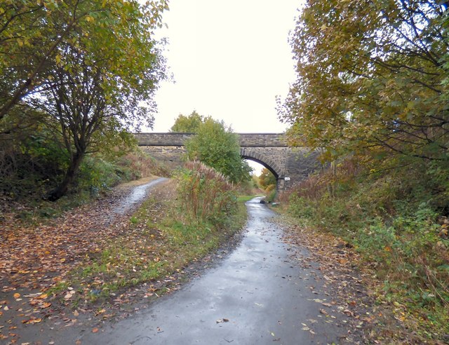
Image: © Gerald England Taken: 4 Nov 2016
Bridge #126 takes a footpath that connects Grange Road North to Grange Road South over the former railway line from Godley Junction to Apethorn. The "Cheshire Lines Committee (CLC)" route opened in 1866. Following the electrification of the Woodhead line in 1954 and until 1981 when the through route to Sheffield closed, the main traffic on the line consisted of trains from the Yorkshire coalfield to the Fiddlers Ferry power station. Most of the former trackbed is now utilised by the Trans Pennine Trail and National Cycle Network Route #62
Images are licensed for reuse under creativecommons.org/licenses/by-sa/2.0
Image Location
Latitude
53.447247
Longitude
-2.066059