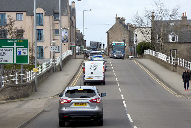
Nairn Bridge
Introduction
The photograph on this page of Nairn Bridge by David Dixon as part of the Geograph project.
The Geograph project started in 2005 with the aim of publishing, organising and preserving representative images for every square kilometre of Great Britain, Ireland and the Isle of Man.
There are currently over 7.5m images from over 14,400 individuals and you can help contribute to the project by visiting https://www.geograph.org.uk

Image: © David Dixon Taken: 5 Apr 2017
Nairn Bridge is a three-arched sandstone bridge which carries the A96 across the River Nairn to the east of the town centre. The eastern arch serves primarily as a flood arch with a cycle track passing underneath. The earliest recorded bridge to cross the river here was built in ca 1631, although there was almost certainly a crossing before that, as the town proves an ancient crossing point, as well as the harbour. That early bridge stood until 1794, when it was washed away in a flood. The replacement bridge was built in 1804 but was severely damaged in 1829 and, after repair, it collapsed again in 1868. It has since remained intact although it was widened in 1936 (https://www.sabre-roads.org.uk/wiki/index.php?title=Nairn_Bridge SABRE).

