Milton Lane, Steventon
Introduction
The photograph on this page of Milton Lane, Steventon by Chris Brown as part of the Geograph project.
The Geograph project started in 2005 with the aim of publishing, organising and preserving representative images for every square kilometre of Great Britain, Ireland and the Isle of Man.

There are currently over 7.5m images from over 14,400 individuals and you can help contribute to the project by visiting https://www.geograph.org.uk
Milton Lane, Steventon
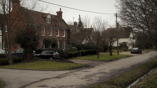
Image: © Chris Brown Taken: 19 Feb 2017
Along the eastern section of the causeway, the roadway is known as Milton Lane. The handsome early 18th century brick house seen from the elevation offered by the causeway is Home Farm and the older whitewashed house beyond is Colts Close.
Images are licensed for reuse under creativecommons.org/licenses/by-sa/2.0
Image Location


Leaflet Map data © OpenStreetMap
Latitude
51.625021
Longitude
-1.318689