Shipwrights' Way 134
Introduction
The photograph on this page of Shipwrights' Way 134 by Shazz as part of the Geograph project.
The Geograph project started in 2005 with the aim of publishing, organising and preserving representative images for every square kilometre of Great Britain, Ireland and the Isle of Man.

There are currently over 7.5m images from over 14,400 individuals and you can help contribute to the project by visiting https://www.geograph.org.uk
Shipwrights' Way 134
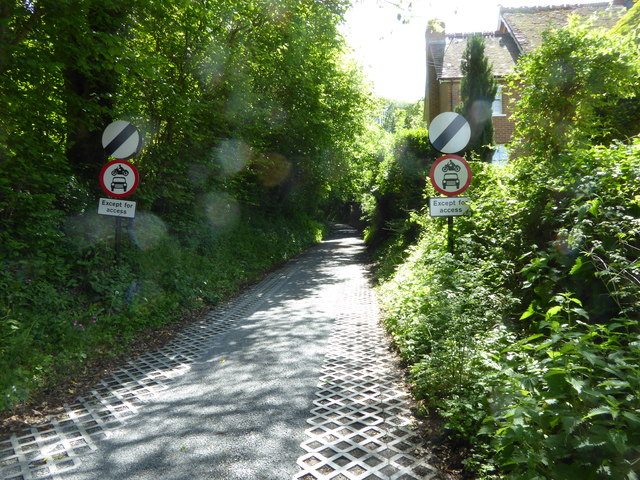
Image: © Shazz Taken: 14 May 2017
The route has left the B2070 to go to Buriton. See also http://www.geograph.org.uk/photo/5259469.
Images are licensed for reuse under creativecommons.org/licenses/by-sa/2.0
Image Location
Latitude
50.990352
Longitude
-0.95144