Southern boundary of Llanvair Kilgeddin, Monmouthshire
Introduction
The photograph on this page of Southern boundary of Llanvair Kilgeddin, Monmouthshire by Jaggery as part of the Geograph project.
The Geograph project started in 2005 with the aim of publishing, organising and preserving representative images for every square kilometre of Great Britain, Ireland and the Isle of Man.

There are currently over 7.5m images from over 14,400 individuals and you can help contribute to the project by visiting https://www.geograph.org.uk
Southern boundary of Llanvair Kilgeddin, Monmouthshire
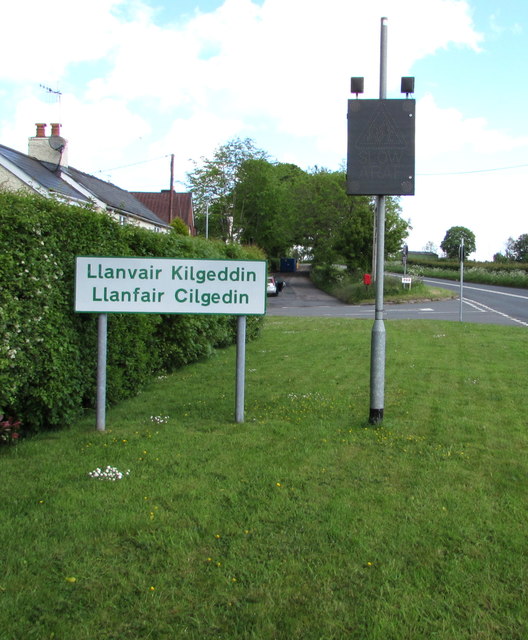
Image: © Jaggery Taken: 14 May 2017
The boundary sign is alongside the B4598 at the southern edge of Llanvair Kilgeddin, a small village between Usk and Abergavenny. The village is also Llanfair Kilgeddin in English and Llanfair Cilgedin in Welsh.
Images are licensed for reuse under creativecommons.org/licenses/by-sa/2.0
Image Location
Latitude
51.757256
Longitude
-2.944716