Shipwrights' Way 111
Introduction
The photograph on this page of Shipwrights' Way 111 by Shazz as part of the Geograph project.
The Geograph project started in 2005 with the aim of publishing, organising and preserving representative images for every square kilometre of Great Britain, Ireland and the Isle of Man.

There are currently over 7.5m images from over 14,400 individuals and you can help contribute to the project by visiting https://www.geograph.org.uk
Shipwrights' Way 111
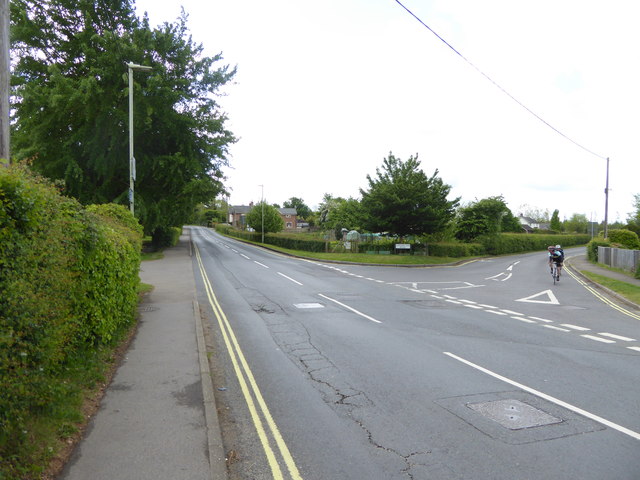
Image: © Shazz Taken: 14 May 2017
The route turns right onto Andlers Ash Road. See also http://www.geograph.org.uk/photo/5254846 from earlier in the year.
Images are licensed for reuse under creativecommons.org/licenses/by-sa/2.0
Image Location
Latitude
51.040515
Longitude
-0.891257