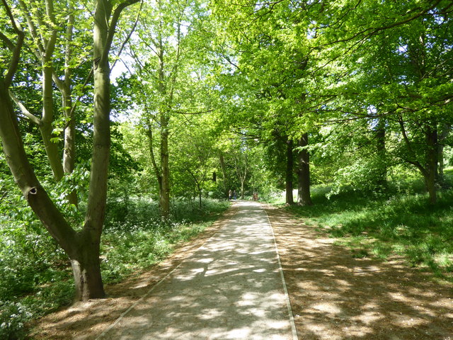
Path in Raphael Park
Introduction
The photograph on this page of Path in Raphael Park by Marathon as part of the Geograph project.
The Geograph project started in 2005 with the aim of publishing, organising and preserving representative images for every square kilometre of Great Britain, Ireland and the Isle of Man.
There are currently over 7.5m images from over 14,400 individuals and you can help contribute to the project by visiting https://www.geograph.org.uk

Image: © Marathon Taken: 10 May 2017
Raphael Park was formed from the western section of the landscaped grounds of the former Gidea Hall Estate. The lake was formed in the late 18th century when what is now known as Black's Bridge on Main Road. The bridge was required to span the widened Black's Canal. The canal was initially formed by damming and redirecting a tributary stream that fed the various water features of the earlier formal gardens of Gidea Hall. Where the canal passed through the estate of Gidea Hall it was widened to form a large serpentine lake. Black's Bridge is now Grade II Listed. Sir Herbert Raphael purchased Gidea Hall and the Estate in 1897, and after that it was gradually divided and redeveloped. Around 1901 Sir Herbert offered some of the land from the Estate to Romford Urban District Council and this marked the beginnings of Raphael Park. It included the entrance of the old Estate, two entrance lodges, 15 acres of gardens and an ornamental canal and bridge. It was given for use as a public park for recreation and leisure "for the benefit of the townspeople". Around 1902 a design competition was held for the park in keeping with the fashion of the age as 'the modern arcadia' The winning entry was produced by a Mr Ridge who was an assistant surveyor working for the Council. Raphael Park was officially opened on 2nd June 1904 by Sir Herbert and Lady Raphael with 5,000 people attending the event. This is the Woodland Walk in the northern part of the park beyond the lake. There is a Friends of Raphael Park & Lodge Farm Park – see http://friendsofraphaelpark.org.uk/

