The Meadows, Darwen
Introduction
The photograph on this page of The Meadows, Darwen by Alexander P Kapp as part of the Geograph project.
The Geograph project started in 2005 with the aim of publishing, organising and preserving representative images for every square kilometre of Great Britain, Ireland and the Isle of Man.

There are currently over 7.5m images from over 14,400 individuals and you can help contribute to the project by visiting https://www.geograph.org.uk
The Meadows, Darwen
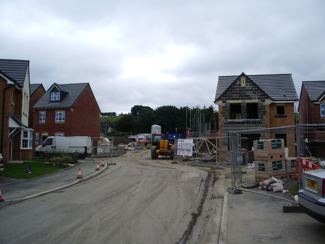
Image: © Alexander P Kapp Taken: 23 Aug 2007
New houses, this building site is at last being finished off, you could say this is phase 3, phase 1 was started 15 or more years ago and only about 50 have been built.
Images are licensed for reuse under creativecommons.org/licenses/by-sa/2.0
Image Location


Leaflet Map data © OpenStreetMap
Latitude
53.710981
Longitude
-2.486596