Site of Elsecar Old Colliery, 1750
Introduction
The photograph on this page of Site of Elsecar Old Colliery, 1750 by Chris Allen as part of the Geograph project.
The Geograph project started in 2005 with the aim of publishing, organising and preserving representative images for every square kilometre of Great Britain, Ireland and the Isle of Man.

There are currently over 7.5m images from over 14,400 individuals and you can help contribute to the project by visiting https://www.geograph.org.uk
Site of Elsecar Old Colliery, 1750
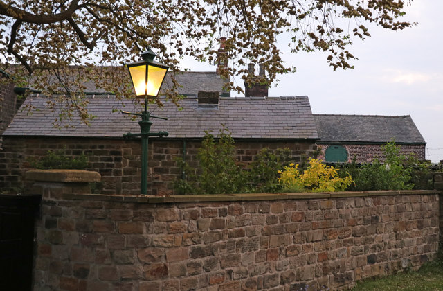
Image: © Chris Allen Taken: 11 May 2017
The nearest building is believed to be one seen on a contemporary illustration of the pit as its shape and proportions match. There was an angry sounding dog behind a nearby wall. This is part of Elsecar's rich industrial heritage and is a point on a suggested walk around the village and its industrial remains.
Images are licensed for reuse under creativecommons.org/licenses/by-sa/2.0
Image Location
Latitude
53.494998
Longitude
-1.4329