Path around Big Wood
Introduction
The photograph on this page of Path around Big Wood by Lairich Rig as part of the Geograph project.
The Geograph project started in 2005 with the aim of publishing, organising and preserving representative images for every square kilometre of Great Britain, Ireland and the Isle of Man.

There are currently over 7.5m images from over 14,400 individuals and you can help contribute to the project by visiting https://www.geograph.org.uk
Path around Big Wood
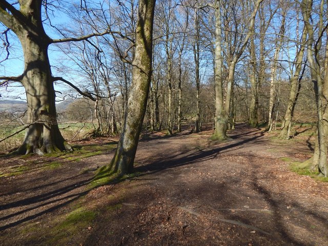
Image: © Lairich Rig Taken: 27 Mar 2017
The path is the one shown in Image, but the present view is from about 180 metres further along it. At the time of writing, the 1:25000 map does show a path near the edge of Big Wood; it is close to the path I was following, but the latter is nearer the edge of the woods, as the picture shows.
Images are licensed for reuse under creativecommons.org/licenses/by-sa/2.0
Image Location
Latitude
55.919913
Longitude
-4.490403