Llanfair Kilgeddin Village Hall
Introduction
The photograph on this page of Llanfair Kilgeddin Village Hall by Jaggery as part of the Geograph project.
The Geograph project started in 2005 with the aim of publishing, organising and preserving representative images for every square kilometre of Great Britain, Ireland and the Isle of Man.

There are currently over 7.5m images from over 14,400 individuals and you can help contribute to the project by visiting https://www.geograph.org.uk
Llanfair Kilgeddin Village Hall
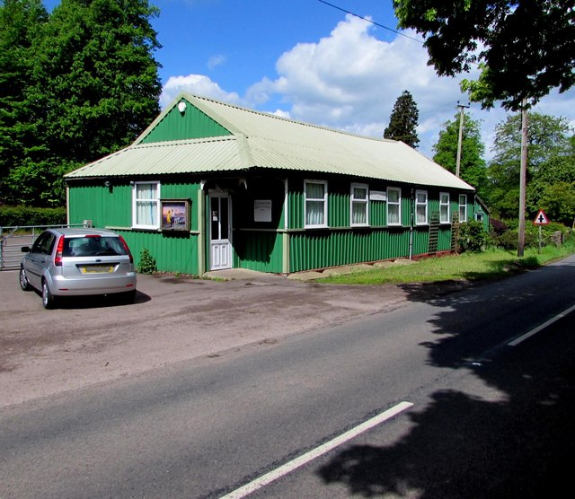
Image: © Jaggery Taken: 14 May 2017
Corrugated metal building on the west side of the B4598 in rural Monmouthshire between Usk and Abergavenny. http://www.geograph.org.uk/photo/5390425 to another view of the hall.
Images are licensed for reuse under creativecommons.org/licenses/by-sa/2.0
Image Location


Leaflet Map data © OpenStreetMap
Latitude
51.771104
Longitude
-2.944571