Aragon Street, Crindau, Newport
Introduction
The photograph on this page of Aragon Street, Crindau, Newport by Jaggery as part of the Geograph project.
The Geograph project started in 2005 with the aim of publishing, organising and preserving representative images for every square kilometre of Great Britain, Ireland and the Isle of Man.

There are currently over 7.5m images from over 14,400 individuals and you can help contribute to the project by visiting https://www.geograph.org.uk
Aragon Street, Crindau, Newport
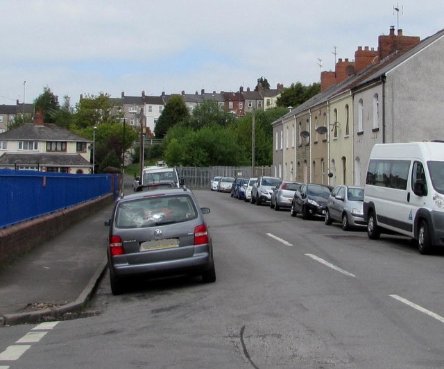
Image: © Jaggery Taken: 9 May 2017
This part of Aragon Street is between Argyle Street and Ailesbury Street. The blue railings are at the edge of Crindau Primary School. Redland Street houses are on higher ground in the distance.
Images are licensed for reuse under creativecommons.org/licenses/by-sa/2.0
Image Location
Latitude
51.599475
Longitude
-2.996736