West Balgothrie Farmhouse, Lomond Hills
Introduction
The photograph on this page of West Balgothrie Farmhouse, Lomond Hills by Bill Kasman as part of the Geograph project.
The Geograph project started in 2005 with the aim of publishing, organising and preserving representative images for every square kilometre of Great Britain, Ireland and the Isle of Man.

There are currently over 7.5m images from over 14,400 individuals and you can help contribute to the project by visiting https://www.geograph.org.uk
West Balgothrie Farmhouse, Lomond Hills
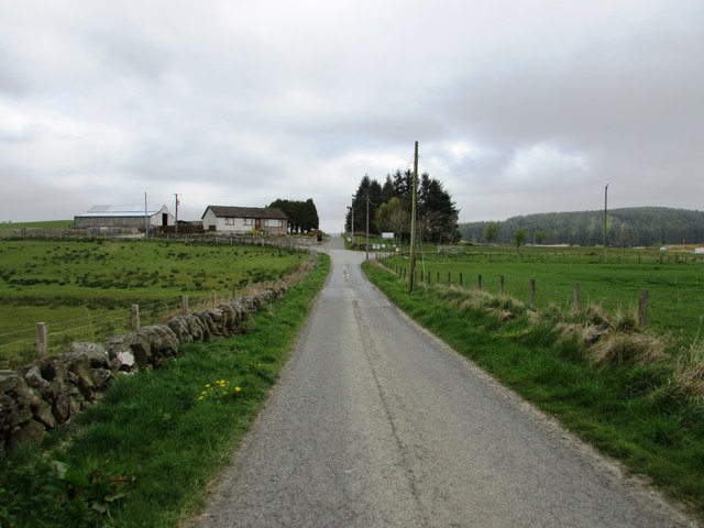
Image: © Bill Kasman Taken: 1 May 2017
Strathenry Avenue, the road to Holl Reservoir Image], approaches the crossroads at West Balgothrie Farmhouse. Straight ahead to the reservoir and car park, right to the waste water treatment works, Lomond Hills Fishery and a path which leads to the road over the hills between Falkland and Leslie and left for the track and path to Bishop Hill. See Lomond Hills Regional Park article http://www.geograph.org.uk/article/Lomond-Hills-Regional-Park
Images are licensed for reuse under creativecommons.org/licenses/by-sa/2.0
Image Location
Latitude
56.215319
Longitude
-3.250207