Wester and Easter Templand
Introduction
The photograph on this page of Wester and Easter Templand by valenta as part of the Geograph project.
The Geograph project started in 2005 with the aim of publishing, organising and preserving representative images for every square kilometre of Great Britain, Ireland and the Isle of Man.

There are currently over 7.5m images from over 14,400 individuals and you can help contribute to the project by visiting https://www.geograph.org.uk
Wester and Easter Templand
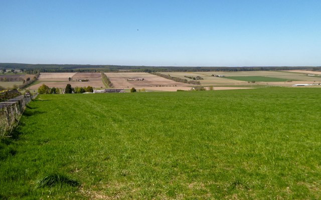
Image: © valenta Taken: 4 May 2017
Wester and Easter Templand on the line of the grass field, with Mid Blairford in the distance.
Images are licensed for reuse under creativecommons.org/licenses/by-sa/2.0
Image Location
Latitude
57.585478
Longitude
-4.189116