Higher Hill Farm, Tockholes
Introduction
The photograph on this page of Higher Hill Farm, Tockholes by Greum as part of the Geograph project.
The Geograph project started in 2005 with the aim of publishing, organising and preserving representative images for every square kilometre of Great Britain, Ireland and the Isle of Man.

There are currently over 7.5m images from over 14,400 individuals and you can help contribute to the project by visiting https://www.geograph.org.uk
Higher Hill Farm, Tockholes
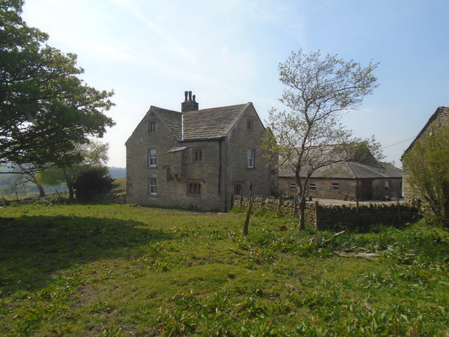
Image: © Greum Taken: 11 May 2017
A picture of the 17th century farmhouse from the south east, showing the "garderobe."
Images are licensed for reuse under creativecommons.org/licenses/by-sa/2.0
Image Location


Leaflet Map data © OpenStreetMap
Latitude
53.698437
Longitude
-2.519924