Malago marsh
Introduction
The photograph on this page of Malago marsh by Neil Owen as part of the Geograph project.
The Geograph project started in 2005 with the aim of publishing, organising and preserving representative images for every square kilometre of Great Britain, Ireland and the Isle of Man.

There are currently over 7.5m images from over 14,400 individuals and you can help contribute to the project by visiting https://www.geograph.org.uk
Malago marsh
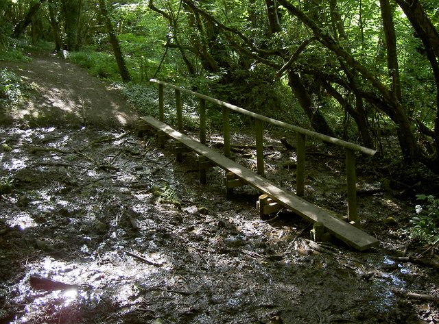
Image: © Neil Owen Taken: 9 May 2017
The Malago rises on the slopes above Withywood; here the marshy ground has a wooden bridge to span the worst section.
Images are licensed for reuse under creativecommons.org/licenses/by-sa/2.0
Image Location
Latitude
51.398858
Longitude
-2.603102