Malago marker
Introduction
The photograph on this page of Malago marker by Neil Owen as part of the Geograph project.
The Geograph project started in 2005 with the aim of publishing, organising and preserving representative images for every square kilometre of Great Britain, Ireland and the Isle of Man.

There are currently over 7.5m images from over 14,400 individuals and you can help contribute to the project by visiting https://www.geograph.org.uk
Malago marker
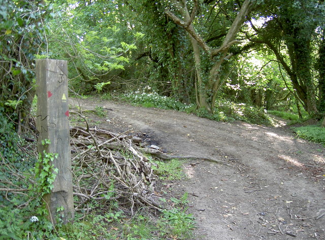
Image: © Neil Owen Taken: 9 May 2017
Up on the slopes to the north of East Dundry are the various issues and sources that collectively form the Malago and Pigeonhouse streams. The marker indicates a number of short tracks in the woodlands.
Images are licensed for reuse under creativecommons.org/licenses/by-sa/2.0
Image Location
Latitude
51.39886
Longitude
-2.602814