Fence between the open upland grazing and "improved" grassland
Introduction
The photograph on this page of Fence between the open upland grazing and "improved" grassland by John Haynes as part of the Geograph project.
The Geograph project started in 2005 with the aim of publishing, organising and preserving representative images for every square kilometre of Great Britain, Ireland and the Isle of Man.

There are currently over 7.5m images from over 14,400 individuals and you can help contribute to the project by visiting https://www.geograph.org.uk
Fence between the open upland grazing and "improved" grassland
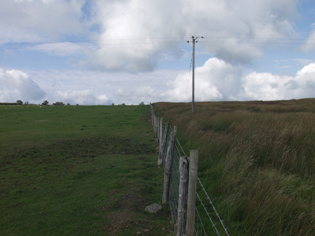
Image: © John Haynes Taken: 28 Aug 2007
The "improved" grazing is on the left, the open upland grazing is heavily infested with rushes at this point.
Images are licensed for reuse under creativecommons.org/licenses/by-sa/2.0
Image Location


Leaflet Map data © OpenStreetMap
Latitude
52.902423
Longitude
-3.171491