The Edge of Thorpe Hay Meadow
Introduction
The photograph on this page of The Edge of Thorpe Hay Meadow by Des Blenkinsopp as part of the Geograph project.
The Geograph project started in 2005 with the aim of publishing, organising and preserving representative images for every square kilometre of Great Britain, Ireland and the Isle of Man.

There are currently over 7.5m images from over 14,400 individuals and you can help contribute to the project by visiting https://www.geograph.org.uk
The Edge of Thorpe Hay Meadow
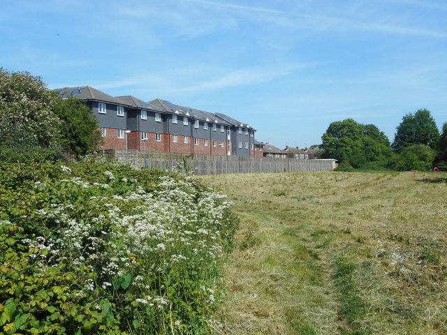
Image: © Des Blenkinsopp Taken: 10 May 2017
Thorpe Hay Meadow is an area of old farmland almost completely surrounded by suburban housing. It is a nature reserve.
Images are licensed for reuse under creativecommons.org/licenses/by-sa/2.0
Image Location
Latitude
51.427085
Longitude
-0.516573