Path through grassland at Erskine
Introduction
The photograph on this page of Path through grassland at Erskine by Lairich Rig as part of the Geograph project.
The Geograph project started in 2005 with the aim of publishing, organising and preserving representative images for every square kilometre of Great Britain, Ireland and the Isle of Man.

There are currently over 7.5m images from over 14,400 individuals and you can help contribute to the project by visiting https://www.geograph.org.uk
Path through grassland at Erskine
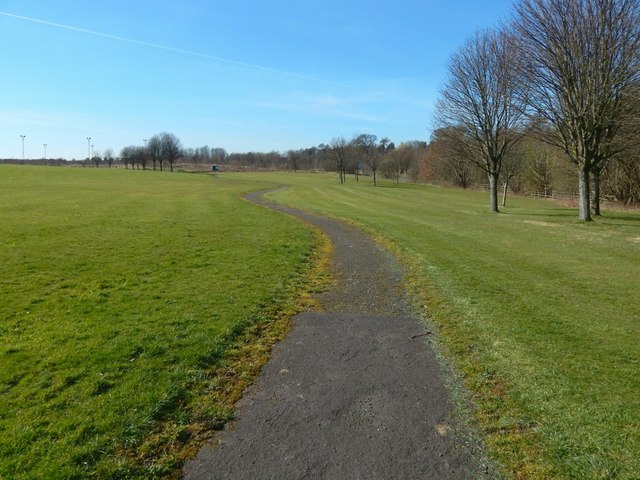
Image: © Lairich Rig Taken: 27 Mar 2017
This area is bounded on the north and west by busy roads, on the east by Erskine Bowling Club and the Image beside Image, and on the south by housing at Bargarran. There are some pitches nearby, as indicated by the floodlighting in the left background; see Image, a view from further along the path.
Images are licensed for reuse under creativecommons.org/licenses/by-sa/2.0
Image Location
Latitude
55.913233
Longitude
-4.46501