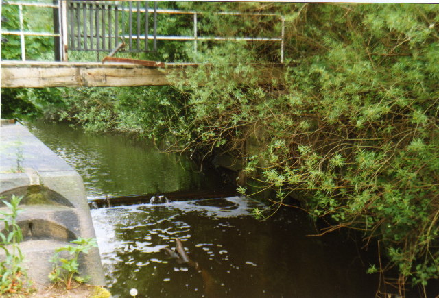
Howley Lock
Introduction
The photograph on this page of Howley Lock by S Parish as part of the Geograph project.
The Geograph project started in 2005 with the aim of publishing, organising and preserving representative images for every square kilometre of Great Britain, Ireland and the Isle of Man.
There are currently over 7.5m images from over 14,400 individuals and you can help contribute to the project by visiting https://www.geograph.org.uk

Image: © S Parish Taken: Unknown
A disused lock that bypassed Howley Weir on the River Mersey in Warrington. Made redundant by the opening of the Manchester Ship Canal, the lock is normally empty except at high tide (20 miles inland), revealing unusual rotary paddle gear. This picture was taken on one of the rare occasions when high spring tides top the weir and the lock. The bridge, now secured for safety, leads to an island ("Monkey Island") formed between the weir and the lock.
Image Location


