Postbox BT38 350, Carrickfergus (May 2017)
Introduction
The photograph on this page of Postbox BT38 350, Carrickfergus (May 2017) by Albert Bridge as part of the Geograph project.
The Geograph project started in 2005 with the aim of publishing, organising and preserving representative images for every square kilometre of Great Britain, Ireland and the Isle of Man.

There are currently over 7.5m images from over 14,400 individuals and you can help contribute to the project by visiting https://www.geograph.org.uk
Postbox BT38 350, Carrickfergus (May 2017)
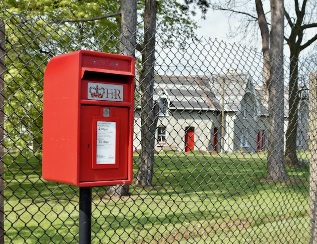
Image: © Albert Bridge Taken: 10 May 2017
A pressed-steel postbox (BT38 350) on the Downshire Road, at the side of the Shiels Almshouses. It replaced this one Image
Images are licensed for reuse under creativecommons.org/licenses/by-sa/2.0
Image Location
Latitude
54.722581
Longitude
-5.788179