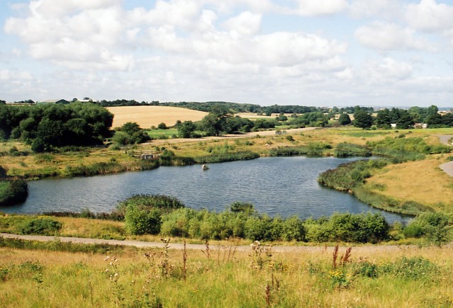
Back to nature, Cutsyke
Introduction
The photograph on this page of Back to nature, Cutsyke by David Pickersgill as part of the Geograph project.
The Geograph project started in 2005 with the aim of publishing, organising and preserving representative images for every square kilometre of Great Britain, Ireland and the Isle of Man.
There are currently over 7.5m images from over 14,400 individuals and you can help contribute to the project by visiting https://www.geograph.org.uk

Image: © David Pickersgill Taken: 26 Aug 2007
Twenty years ago, Flass Lane at Cutsyke ran through a black wasteland of colliery spoil and Carr Beck was hidden in a culvert deep beneath the muck stacks. Now nature has returned in a wonderful example of reclamation: the beck runs through an open valley once more and into this pond, while grass, gorse and maturing woodland covers the reclaimed spoil heaps.

