Staddiscombe Playing Fields
Introduction
The photograph on this page of Staddiscombe Playing Fields by Gwyn Jones as part of the Geograph project.
The Geograph project started in 2005 with the aim of publishing, organising and preserving representative images for every square kilometre of Great Britain, Ireland and the Isle of Man.

There are currently over 7.5m images from over 14,400 individuals and you can help contribute to the project by visiting https://www.geograph.org.uk
Staddiscombe Playing Fields
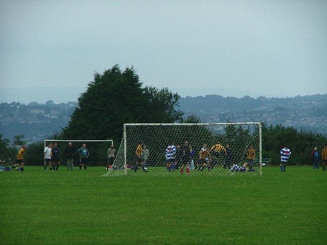
Image: © Gwyn Jones Taken: 11 Sep 2005
Occupying the ridge to the south of Plymstock, the windswept playing fields mark the edge of the city boundary.
Images are licensed for reuse under creativecommons.org/licenses/by-sa/2.0
Image Location


Leaflet Map data © OpenStreetMap
Latitude
50.344898
Longitude
-4.074371