Lummaton Cross
Introduction
The photograph on this page of Lummaton Cross by Derek Harper as part of the Geograph project.
The Geograph project started in 2005 with the aim of publishing, organising and preserving representative images for every square kilometre of Great Britain, Ireland and the Isle of Man.

There are currently over 7.5m images from over 14,400 individuals and you can help contribute to the project by visiting https://www.geograph.org.uk
Lummaton Cross
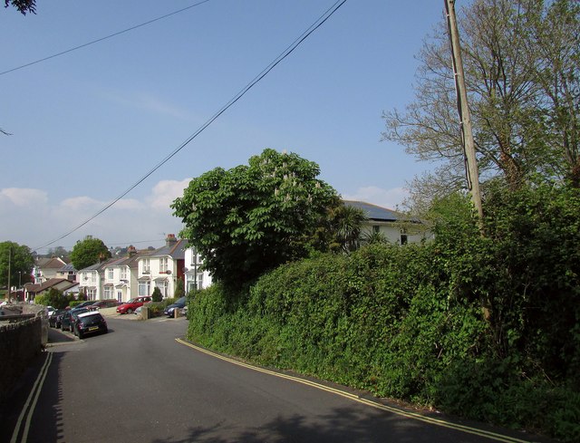
Image: © Derek Harper Taken: 4 May 2017
Almost a country lane, the cul-de-sac from Barton Downs soon passes the semis shown in Image The wood on the right is part of a line across Lummaton Hill that borders disused quarries, now industrial estates, on the other side.
Images are licensed for reuse under creativecommons.org/licenses/by-sa/2.0
Image Location


Leaflet Map data © OpenStreetMap
Latitude
50.488876
Longitude
-3.536637