Track to Gelli-deg uchaf
Introduction
The photograph on this page of Track to Gelli-deg uchaf by M J Roscoe as part of the Geograph project.
The Geograph project started in 2005 with the aim of publishing, organising and preserving representative images for every square kilometre of Great Britain, Ireland and the Isle of Man.

There are currently over 7.5m images from over 14,400 individuals and you can help contribute to the project by visiting https://www.geograph.org.uk
Track to Gelli-deg uchaf
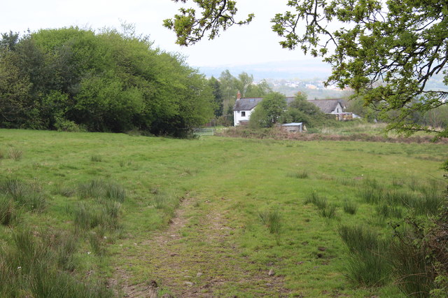
Image: © M J Roscoe Taken: 6 May 2017
Track, public footpath across field to field gate at Gelli-deg uchaf (white house).
Images are licensed for reuse under creativecommons.org/licenses/by-sa/2.0
Image Location
Latitude
51.64231
Longitude
-3.212718