Bluebell woods by Raughtongill Bridge
Introduction
The photograph on this page of Bluebell woods by Raughtongill Bridge by Tiger as part of the Geograph project.
The Geograph project started in 2005 with the aim of publishing, organising and preserving representative images for every square kilometre of Great Britain, Ireland and the Isle of Man.

There are currently over 7.5m images from over 14,400 individuals and you can help contribute to the project by visiting https://www.geograph.org.uk
Bluebell woods by Raughtongill Bridge
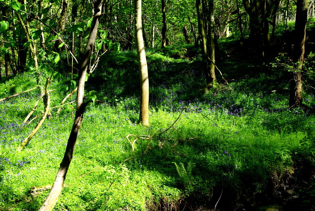
Image: © Tiger Taken: 5 May 2017
An idyllic spot on the steep banks of the Raughton Gill, a tributary of the River Petteril. On this May morning cuckoos were calling and several pairs of orange tip butterflies were consorting on the fringes of the woodland. Apart from the distant hum of traffic and the occasional swish of a passing train, it was hard to believe that the site is tightly sandwiched between the M6 motorway and the West Coast Main Line railway.
Images are licensed for reuse under creativecommons.org/licenses/by-sa/2.0
Image Location
Latitude
54.80764
Longitude
-2.869043