Hill farmland at the head of Craigs Cleuch
Introduction
The photograph on this page of Hill farmland at the head of Craigs Cleuch by Walter Baxter as part of the Geograph project.
The Geograph project started in 2005 with the aim of publishing, organising and preserving representative images for every square kilometre of Great Britain, Ireland and the Isle of Man.

There are currently over 7.5m images from over 14,400 individuals and you can help contribute to the project by visiting https://www.geograph.org.uk
Hill farmland at the head of Craigs Cleuch
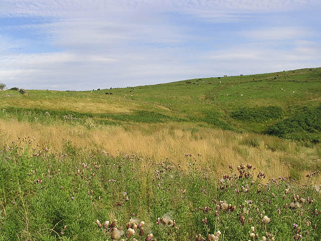
Image: © Walter Baxter Taken: 23 Aug 2007
Rough grazing for cattle and sheep south of Lamblairknowe.
Images are licensed for reuse under creativecommons.org/licenses/by-sa/2.0
Image Location


Leaflet Map data © OpenStreetMap
Latitude
55.382556
Longitude
-2.462408