Cuddington churchyard and village
Introduction
The photograph on this page of Cuddington churchyard and village by Chris Brown as part of the Geograph project.
The Geograph project started in 2005 with the aim of publishing, organising and preserving representative images for every square kilometre of Great Britain, Ireland and the Isle of Man.

There are currently over 7.5m images from over 14,400 individuals and you can help contribute to the project by visiting https://www.geograph.org.uk
Cuddington churchyard and village
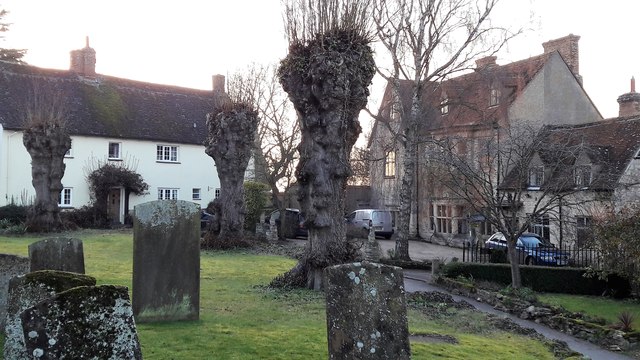
Image: © Chris Brown Taken: 13 Feb 2017
The north side of Cuddington churchyard is bounded by Upper Church Street (left) and Lower Church Street (right). The stone building beginning Lower Church Street is Tyringham Hall.
Images are licensed for reuse under creativecommons.org/licenses/by-sa/2.0
Image Location
Latitude
51.794785
Longitude
-0.932747