Field north of Kettleburgh
Introduction
The photograph on this page of Field north of Kettleburgh by Derek Harper as part of the Geograph project.
The Geograph project started in 2005 with the aim of publishing, organising and preserving representative images for every square kilometre of Great Britain, Ireland and the Isle of Man.

There are currently over 7.5m images from over 14,400 individuals and you can help contribute to the project by visiting https://www.geograph.org.uk
Field north of Kettleburgh
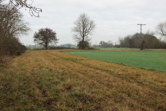
Image: © Derek Harper Taken: 31 Dec 2016
Footpath E-351 013/0 is mapped as crossing this field north of the church but, with a standing winter crop, it seems a good idea to use this generous headland around the west side.
Images are licensed for reuse under creativecommons.org/licenses/by-sa/2.0
Image Location
Latitude
52.200384
Longitude
1.313518