Winfield Drive, East Bierley, Hunsworth
Introduction
The photograph on this page of Winfield Drive, East Bierley, Hunsworth by Humphrey Bolton as part of the Geograph project.
The Geograph project started in 2005 with the aim of publishing, organising and preserving representative images for every square kilometre of Great Britain, Ireland and the Isle of Man.

There are currently over 7.5m images from over 14,400 individuals and you can help contribute to the project by visiting https://www.geograph.org.uk
Winfield Drive, East Bierley, Hunsworth
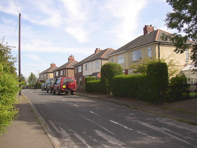
Image: © Humphrey Bolton Taken: 23 Aug 2007
This short cul-de-sac of semi-detached houses is part of ribbon development that took place along Hunsworth Lane before 1940, probably in the 1930s.
Images are licensed for reuse under creativecommons.org/licenses/by-sa/2.0
Image Location
Latitude
53.754307
Longitude
-1.707258