View to Penygwernydd farm
Introduction
The photograph on this page of View to Penygwernydd farm by Nigel Brown as part of the Geograph project.
The Geograph project started in 2005 with the aim of publishing, organising and preserving representative images for every square kilometre of Great Britain, Ireland and the Isle of Man.

There are currently over 7.5m images from over 14,400 individuals and you can help contribute to the project by visiting https://www.geograph.org.uk
View to Penygwernydd farm
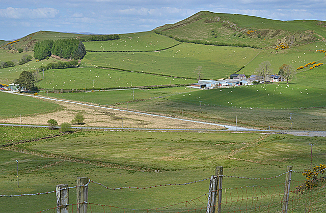
Image: © Nigel Brown Taken: 5 May 2017
Looking across the flat marshy area which forms the col at the head of Cwm Newyddion, to the farm and its surrounding fields.
Images are licensed for reuse under creativecommons.org/licenses/by-sa/2.0
Image Location
Latitude
52.346055
Longitude
-3.873152