Path to Kettleburgh Hall
Introduction
The photograph on this page of Path to Kettleburgh Hall by Derek Harper as part of the Geograph project.
The Geograph project started in 2005 with the aim of publishing, organising and preserving representative images for every square kilometre of Great Britain, Ireland and the Isle of Man.

There are currently over 7.5m images from over 14,400 individuals and you can help contribute to the project by visiting https://www.geograph.org.uk
Path to Kettleburgh Hall
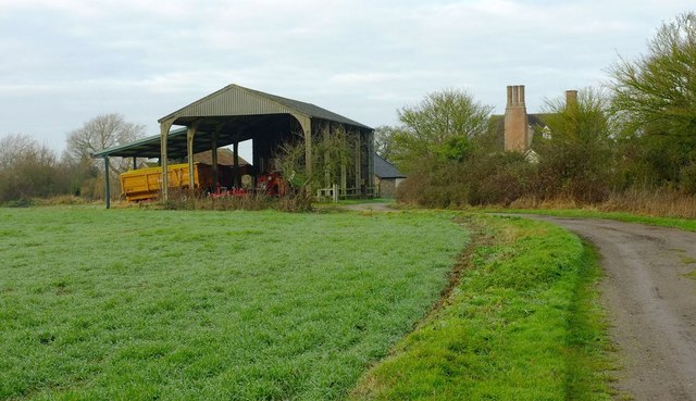
Image: © Derek Harper Taken: 31 Dec 2016
Footpath E-351 023/0 passes a barn on its way to the grade II* listed Kettleburgh Hall https://www.historicengland.org.uk/listing/the-list/list-entry/1283207 ; you can see the "fine external stack with 3 detached octagonal flues with moulded bases and linked star caps".
Images are licensed for reuse under creativecommons.org/licenses/by-sa/2.0
Image Location
Latitude
52.193279
Longitude
1.319868