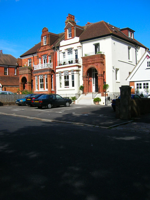
Preston Park Avenue
Introduction
The photograph on this page of Preston Park Avenue by Simon Carey as part of the Geograph project.
The Geograph project started in 2005 with the aim of publishing, organising and preserving representative images for every square kilometre of Great Britain, Ireland and the Isle of Man.
There are currently over 7.5m images from over 14,400 individuals and you can help contribute to the project by visiting https://www.geograph.org.uk

Image: © Simon Carey Taken: 27 Aug 2007
Linking Stanford Avenue with Preston Drove following the eastern border of Preston Park for its entire length. Needless to say we are in prime Victorian and Edwardian villa territory and like similar areas elsewhere a fair few have been lost to the development of flats as the land has become worth more than the original building on it. Many of those that do remain are subdivided into flats.

